Pavlopetri – The Sunken City
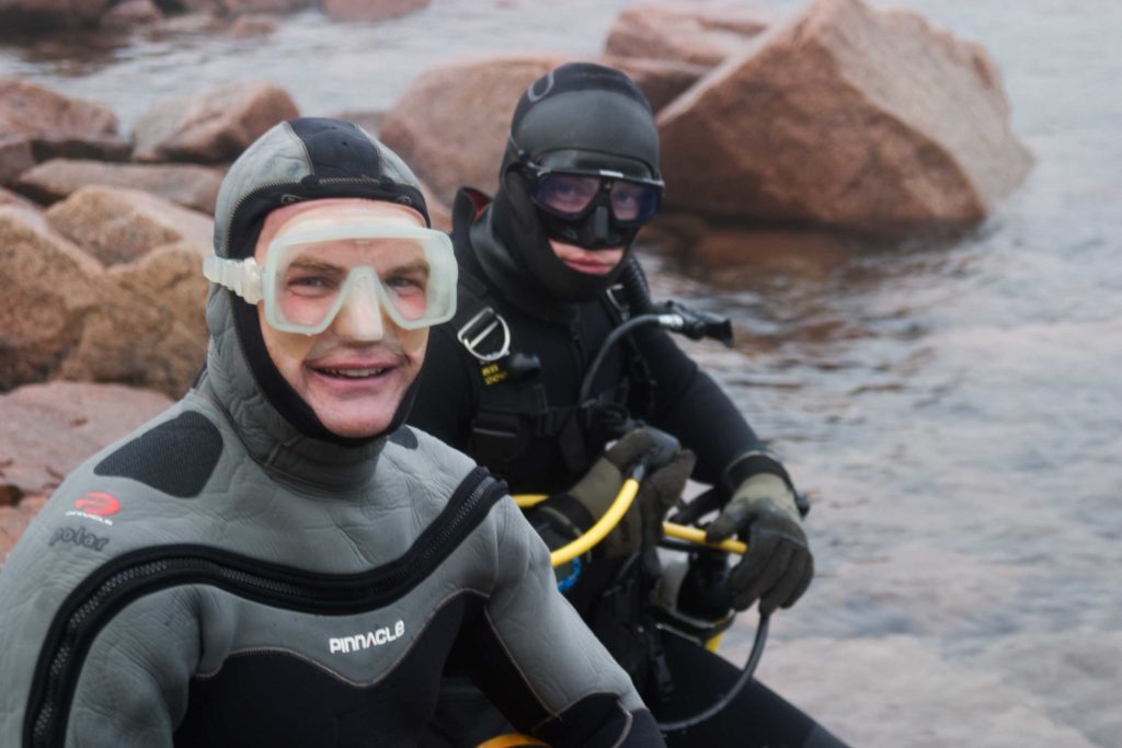
Andy joined Dr Jon Henderson from UARC as the Dive Supervisor to explore and record the remains of an ancient Greek settlement called Pavlopetri. The settlement, which dates back to around 5,000 years ago, clearly shows graves, distinct building foundation and a huge number of pottery and other artefacts.
The follow is from an article first published in Dive Magazine:
The Sun beats down on the men’s back as they load food, weapons and armour onto the beached ship. In a few hours time the tide will flood and the vessel will lift off the sand and sail out into the Aegean Sea, joining its sister ships from Ithaca, Sparta and Athens, bearing men, arms and supplies to the war in Troy. The Mycenean soldiers on board will fight beside titans like Achilles, Odysseus and their King Agamemnon. This scene plays out in a port on the Pelopennese in Ancient Greece, three and a half thousand years ago.
Today simple passers by will see no indication of the harbour town or its long history. But the evidence remains, submerged beneath the waves. Professor Nick Fleming first documented the site in 1969 whilst scouring the Mediterranean for evidence of submerged settlements armed with nothing more than a camper van and a snorkel. Nick, an inspiring professor of oceanography, found the outlines of walls, roads and graves in an area just offshore. His intention was, and is, to use submerged archaeological sites to track sea level changes over the millennia. After this brief survey the site lay untouched and unstudied for 40 years.
In the summer of 2009 I was fortunate enough to be the Diving Supervisor supporting a team of British archaeologist, led by Dr Jon Henderson, who joined forces with the underwater department of the Greek Hellenic Ministry for Culture to investigate this antediluvian site, which, if it could be proven to date to 1500BC, would make it the oldest submerged town in the world.
Conditions in the Mediterranean are very favourable to a project like this. Ten metres visibility, twenty two degree water and no tides. Like most submerged sites it sits in the shallows and operational depth never dipped below 4 metres. However, the team had to contend with the Meltemi winds that blew up daily between 1000 and 1500. The team would start work at 0500, taking a break when they winds picked up then returning to work until 2100. This allowed those left working on shore to avoid the worst of the scotching summer midday sun and gave the team a chance to charge cylinders from the small compressor, maintain diving and archaeology equipment and plan the next session.
The main thrust of this initial year’s work was to accurately survey the site. This would give a precise plan of those parts of the town currently uncovered and could be used to plan excavations in the years to come. The team had a plan from 1969 which had been created by snorkelers with tape measures, duck diving every time dimensions had to be taken over the hundreds of metres of site. Fortunately in 2009 the team employed a Total Station survey system that proved considerably faster. This system works by placing a pole of known height with a prism on top (making sure the pole is longer than the water is deep) on specific points around the town, e.g. along a wall, around a grave. From a fixed station on the shore a laser is shot from the main machine. As the laser bounces off the prism and returns to the machine it measures distance and elevation and therefore works out exactly where that point is. After this was done for thousands of points over the entire town a diagram was slowly built up showing all the features to millimetre accuracy. On land it is a straightforward task, however, as with most things, it’s a different story when underwater. As divers placed the pole on the correct point, taking notes of it’s relevance, a snorkeler held the pole upright, under the guidance of a second snorkeler instructing them which way to angle it to ensure it was perfectly vertical . Keeping a 16 foot metal pole straight on the X, Y and Z axis in the sea is not as simple a task as it appears on paper.
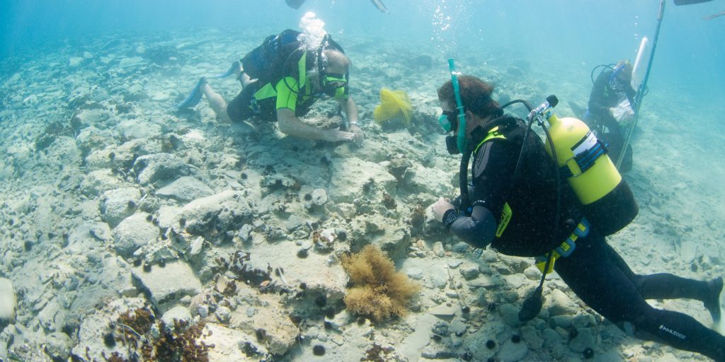
At the same time divers were creating minutely detailed plans of specific, important parts of the site such as graves or significant wall junctions and underwater photo and video equipment was employed as another means of recording. Finally we deployed a small, portable sonar scanning system that helped to build up a better 3D picture. This system is about the size of a 7 litre cylinder and hangs from a simple tripod, requiring less than 1 metre of water to work.
All this work illustrated two things. Firstly, the original plan drawn up by the snorkelers forty years ago was incredibly accurate, amazing when one considers the tools and techniques at their disposal. Secondly, and most importantly, that a great deal more of the site has become uncovered by the shifting sands in the intervening decades, with new graves and some very clear buildings now pushing up through the sea bed. The site is a network of roads weaving their way around a huge number of buildings ranging from small rectangular structures with evidence of central hearths or columns to huge megarons (something akin to a community hall) and buildings shaped with apexes, cloisters and irregular outlines. There are a number of chambered tombs dug into the bedrock, huge underground rooms which would’ve held over 20 corpses, as well as collections of cist graves where cremated remains or bodies folded into tight foetal positions would have been lain. There was even one tiny grave built into the wall of a house. This may well have been a child’s grave as it was common in this period to bury children under 5 within the home. The roads are distinct enough in places to confidently swim down before turning to fly over the ancient threshold stone of a home.
There is clearly much more still buried and the remains of the town are a considerable size. The diagram shows the original 1969 plan with the new areas marked in red. The 2009 plan has not been published in the scientific forum as yet so we are unable to show it here but the accuracy of the original plan and the marked areas showing where the new sections have appeared give some idea of the current extent of the site.
On completion of all this surveying the team also removed a selection of surface finds in order to accurately date the occupation of the town. It was hoped that pottery and artefacts would prove it had existed 3,500 years ago. The site is littered with thousands of shards of broken pottery. Unfortunately the beach nearby attracts tourists, who often swim over the site and help themselves to what they see. Like all underwater sites, historical or biological, it is incredibly hard to police and it is likely all the most complete finds have gone from the surface. The one consolation is that there will be many more artefacts left untouched beneath the seabed. Once divers had collected and surveyed in each piece (using that 16 foot pole again) they were handed over to the experts in ancient Greek pottery in the land team. They spent days pouring over, recording and interpreting the finds including parts of ancient ceremonial figurines, a child’s toy, goblets, jugs, bowls and plates.
The original hypothesis was that this site dated to circa 1500 BC and artefacts recovered during this first phase did indeed contain pottery dating to this period. But the most remarkable news was that other items could be directly linked to civilisations living in the area in 3,000 BC – 5,000 years ago. It was confirmed – we had been diving the oldest submerged town ever discovered. Preparations are already ongoing for the return trip in 2010 to begin the first phase of excavation. This will be an exciting operation with the very real potential for the discovery of significant artefacts. When one considers that rising sea levels are not a phenomenon specific to our time it brings into light the potential of new histories hidden beneath the waters of our world.